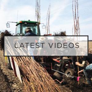
Our planting video this year features some revolutionary new technology never used before in nursery production. Last year we used auto steer & GPS on our tree planter while planting. To our knowledge, that was the first time auto steer & GPS technology had been used in a nursery to plant. This year we added GIS tracking of the varieties & locations in the field.
GIS tracking allows us to add layers of information to a specific lat & long coordinate. We were able to add a layer of variety & liner producer. For example, as we plant trees we tell the computer in the tractor what variety we are planting & what nursery the liner came from. When we switch to a new tree we switch the data recording. The result is a map that looks like this:

Each different color on the map represents a different tree variety & liner grower. At this time, we are just recording the data. Where this will lead in the future we are not sure, but advances in technology have to start somewhere. We are proud to be at the front end of how inventory can be recorded in nurseries. The variety is only one level of data that can be tied to the coordinate. With time, you can record soil types, drainage, fertility, etc. All of those layers can work together to help make better management decisions in the future. The possibilities are endless!
Here is anther example of a map that we were able to print showing the recording of vareities & growers:

None of this would be possible without the use of technology already being used on my family’s corn & soybean operation. My Dad, Doug Harford, was an early innovator in GPS/GIS technology in the farm. Now my brother, Chris Harford, continues the tradition and helps us figure out how to apply it to the nursery. For more on how is works in the field, check out our 2015 Planting Video here:


Leave a Reply